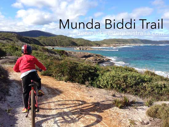


The Munda Biddi Trail is a world-class, off road, long distance, cycling trail which connects to several short distance biking trails.
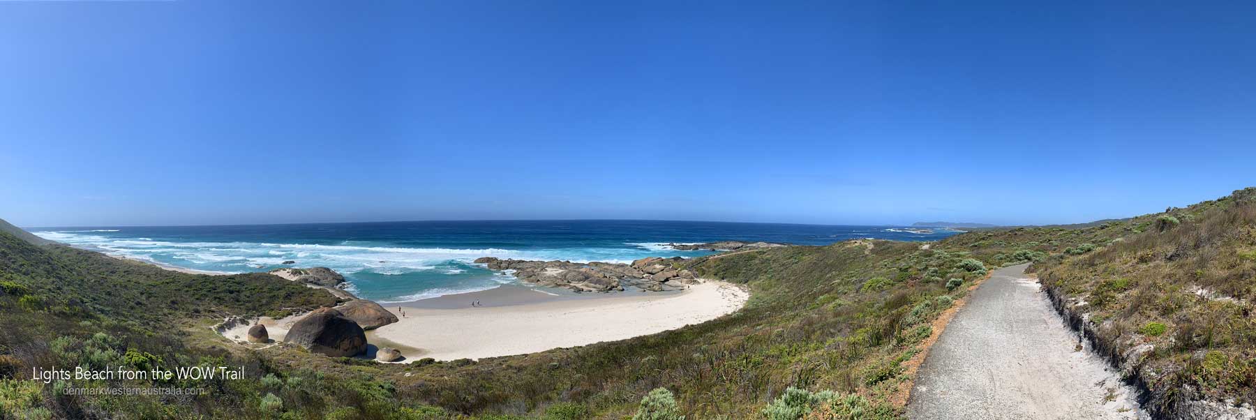
Traversing William Bay National Park, Lights Beach, the Denmark Community Windfarm and Heritage Rail Trail and passing right through Denmark along the river, the Munda Biddi is easy for everyone to experience, perfect for the amateur cyclist or family.
Munda Biddi means 'path through the forest' in Noongar Aboriginal language. You can camp in purpose-built shelters on the Trail with year-round cycling weather!
Plan your trip on the Munda Biddi trail. Although the trail is open year round, the best times to see it are in Spring for the wildflowers or Autumn and Winter for cool days to ride. Sometimes it is too hot for the trail in the summer.
Check out the current track conditions before you bike!
Scroll down for a map of the Denmark section of the Munda Biddi Trail.

The Munda Biddi Trail is a long-distance mostly off-road cycling trail in Western Australia. It runs for over 1,000 kilometres (620 mi) from Mundaring to Albany[1] – the longest track of its kind in the world. The name Munda Biddi means path through the forest in the Noongar Aboriginal language and it runs largely through an undeveloped natural corridor. The track traverses vast areas of unspoiled forests and bushland with mostly gentle terrain. While the track is open year-round, riding conditions are better during spring and autumn, and potentially hazardous from December to March because of the often extreme heat and fire danger at that time of year. As of May 2017, the record for completing the Munda Biddi Trail is four days, six hours and 39 minutes.
Ref: Wikipedia
Though we've included a map below, created for your referece, the Munda Biddi Trail Foundation states, and we strongly agree;
"The MBTF strongly recommends that you carry the relevant Munda Biddi maps with you whilst riding the Trail. The Parks and Wildlife Service have developed free digital map files of the Munda Biddi Trail, however both the Foundation and Parks and Wildlife recommend that these are to be used in conjunction with the hard-copy maps. Do not rely purely on any electronic equipment - batteries might go flat, the device may fail or break, and can be unreliable in areas of little to no network coverage. In addition the digital maps do not include any trail diversions that may be in place.You can download the digital files in either GPX or KML versions."
~ https://www.mundabiddi.org.au/maps

 Accommodation
  Shopping in Denmark
  Eating in Denmark
  Denmark Wineries